The Western Consortium Watershed Analysis, Visualization and Exploration (WC-WAVE) project is a collaborative effort of the Idaho, New Mexico and Nevada NSF EPSCoR Programs. Its overarching goal is to advance watershed science, workforce development, and education with cyberinfrastructure (CI)-enabled discovery and innovation. The undergraduate Visualization and Modeling Network (UVMN) provides professional development for instructors (faculty) and students from Primarily Undergraduate Institutions (PUI) in the three consortium states by providing an opportunity to engage diverse students in undergraduate research and CI-enabled education. Faculty and student teams from each state participate in workshops focusing on modeling and visualization and work collaboratively to develop and implement educational models at their home institutions.
The project team is Jeanette Gara-Betzold (faculty), Kate Schalk (faculty), and Tyler Phillips (student), Lewis Clark State College, Lewiston, Idaho.
Geology 120 is now offered during both Fall and Spring semesters, providing students with more access and experience using the visualization and modeling exercises. Other impacts include significant modification of weekly lecture activities and course materials to incorporate new digital resources such as Digital Atlas of Idaho, Google Earth, Earthlabs, and Visionlearning.
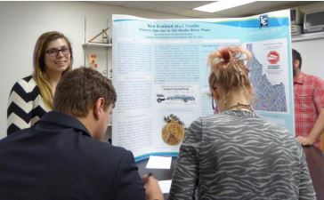
A team from Lewis Clark State College (LCSC) in Idaho are incorporating visualization and modeling exercises via Google Earth into LCSC's Geology 120: Introduction to Earth Systems course. The course will focus on the Snake River Watershed in Idaho and the earth systems that contribute to its maintenance and formation. Students discuss the hydrology, geology, and relevant mapping and visualization tools associated with understanding the Snake River Watershed. The exercises will help them become informed citizens and build skills in scientifically analyzing information.